This is a story of four historic bridges, because as the Avon gets closer to the coast the landscape also becomes more densely populated and much of the history of the South Hams is concentrated along the coastal belt, which means more bridges, and they are closer together.
The first bridge is at Willing's Mill or New Mill Bridge to avoid confusion with the newer New Bridge further downstream. Grade 2 listed by English Heritage.
Road bridge over River Avon. C18. Slatestone-rubble, granite coping. Bridge was on main road from Loddiswell to Kingsbridge until Turnpike road built and taken over New Bridge. Repairs, including iron ties, in 1905. In two segmental arches with triangular cutwaters; flush voussoirs, square section on-edge granite coping with regular vertical through-stones.
If you read Part 13 you'll remember I showed the old road from Loddiswell, now impassable by vehicles and the new road that was cut into the hillside to replace it in 1827, which descends further along the river at bridge number two, New Bridge.

Just to recap this is where the roads split. So the old lane on the left was the main road and at the bottom of that at Willing's Mill is where we start. The new road on the right leads as you might expect to New Bridge.

Willing's Mill is where the old red road crosses the river in green. The new road is blue and offers a more gentle descent to the river at New Bridge.


At a time when fish formed an important food source it was not uncommon for the otter to be hunted along rivers. Otters were seen as a problem when it came to fish stocks. As recently as the mid 1970's I remember otter hunts taking place on the river Teifi where my grandmother had fishing rights. My grandmother was a formidable if diminutive woman who was determined that the otter hounds would not cross her land and she physically blocked their path on many occasions. It was not long after this that the law was introduced to make this hunting illegal.
Trapping, injuring or killing an otter – whether deliberately or through carelessness – is now a serious offence under the Wildlife and Countryside Act 1981.
Exeter and Plymouth Gazette - Friday 29 May 1903
A meet, of the Dartmoor Otter hounds took place at Loddiswell New Mill Bridge Saturday morning at, 10 o'clock. The popular Master, Mr. Augustus Pitman, assisted by Huntsman Mason, brought 11 couples of fine dogs and three useful terriers. The brilliant morning attracted a field of fully 150............. Starting at Hatch Bridge, the hounds came rapidly along the marshes to the station, where a good "trail" ended in a deep gutter. Ready hands set to digging, but after three hours the work was abandoned. Thence the river was worked away to Avonwick, but without any further sport. Later in the evening Mr. "Dacres Wise saw the otter which had been dug for "bolt" from its lair.
The lucky otter lived to catch fish another day on this occasion.

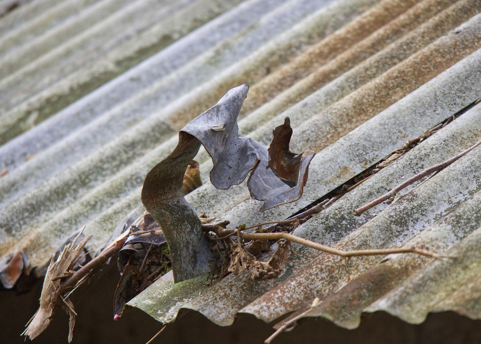
This is a cutwater at New Mill Bridge. These are part of a bridge design which both speeds water flow through the arches and also protects the structure of the bridge from floating debris that might cause damage during floods, by deflecting heavy objects to one side.

This is the New Bridge of 1827, Grade 2 listed by English Heritage, and still the main route to Kingsbridge and the coast through Loddiswell. The ban on articulated vehicles is not because of the bridge but because of the village itself. The centre of the village is impassable by our largest vehicles due to the narrow road and the right angled turns. This is the point of no return, literally. Once over the bridge you cannot get through the village or turn around.

For it's day this was a major construction as it not only crosses the river but also rises above the flood plain on a substantial raised embankment. To allow access to the riverside footpath, access points and steps were added both sides.


The bridge forms a single wide arch.

Heavy buttresses support the elevated roadway.


These shots were taken in August 2022 and the long dry summer is showing itself. The footpath is on the right following the edge of the field. The next bridge is Hatch Bridge from which direction came the otter hounds mentioned above.

At this point is a structure which I can only guess is some sort of control of water flow. The part crossing the river looks like it is raised to hold back flood waters. The small building is the monitoring station. At the time of writing this the river level is at .260 metres which is considered normal.

Once you have crossed New Bridge headed towards Kingsbridge you can stop at The Aune Valley Meat Company, for a great cafe and farm shop where you see this view of the Avon valley looking in the direction of Aveton Gifford. (Aune is a corruption of Avon in case you were wondering)
One of those horizontal lines across the middle of the picture is the hedge lined lane to Hatch Bridge, bridge number three in this collection. When I took this shot in November 2023 the valley was flooded.
Western Morning News - Tuesday 03 January 1928
The sudden thaw on Sunday night has caused a rise in the Avon, and the river is overflowing its banks. At Topsham Bridge on the Kingsbridge branch line, the first train in was delayed for some time through the ballast having been washed from under several sleepers, and the mails and newspapers did not arrive in the town until 10 o'clock.
A breakdown gang from Brent put the line in order, and the ordinary service of trains was running throughout the day. A tremendous amount of water is coming down the Avon, and the roadway below Loddiswell station is between two and three feet underwater, while houses on the opposite side are flooded, and residents have to remain on the upper floors.

As the road climbs at this point to Kingsbridge we see the last evidence of the Kingsbridge branch line where it once crossed the road to enter the Sorely Tunnel. No chance of it flooding way up here. This stretch from Loddiswell station must have been quite a steep climb for a steam train.

Now on a slight detour I try to reach Hatch Bridge which is more difficult than you would expect given it is a road bridge and this is the road. Admittedly this is a G Road as christened by me because it has grass down the middle. The worst though is yet to come.

On my first attempt I was doing quite well until I met a home delivery shopping van which filled this lane. I think he was lost and we both had to negotiate a junction just out of view ahead in this shot below, before I got to the Road Closed sign. It claimed to be closed due to flooding which was strange as it hadn't rained for at least six weeks when this was taken back in August 2022.

So I never made it and decided to have another go back in February 2023, but as you can see, although I got beyond the dubious flood warning sign, this time it turned out to be true. This isn't the Avon, although it looks a lot like it, it is just the road to Hatch Bridge. The problem was, how deep is it? No I didn't attempt it the second time either. I decided to do a reconnoitre on foot instead.

First I had to pass the creepy old barn.

There was a guard dog at the creepy old barn next to the sign that said Strictly Private. I was getting nervous now and feeling eager to escape this place.

There was a path of sorts raised in the hedge at the side of the road, so I walked along as far as I could, and there in the distance is Hatch Bridge.
Grade 2 listed by English Heritage.
Road bridge over River Avon, formerly pack horse bridge, later widened. C17 and
C18. Granite, in 2 segmental arches over 2, non-concentric semicircular arches.
This is as close as I got, because by now I had decided that this flood must be permanent. A stream emerges from a nearby field and runs down the road for a few hundred yards and seems to have laid claim to the road, before it disappears through the hedge to add to the waters of the Avon just out of sight.

This was my best attempt at a picture of Hatch Bridge, below. There was an air of melancholy about the place and this was before I discovered how Thomas Luscombe died by suicide right here in 1894. A sadder tale I didn't see in my whole making of this series. If this subject upsets you, please scroll past this piece.
Western Morning News - Wednesday 04 July 1894
SUICIDE AT AVETON GIFFORD. Yesterday Mr. Sidney Hacker held an inquest at Knapp Mill, Loddiswell, upon the body of Thomas Luscombe, aged 43, a carpenter, who was found in the River Avon, by Hatch Bridge, on Sunday evening. Deceased, who lived at Aveton Gifford was employed by Mr. Lucraft, builder, and on Thursday last went to work on Marytavy Church, his employer having the contract for restoring it. It is supposed that he left Marytavy on Saturday to walk home, a distance of forty miles, and he was seen in the neighbourhood of Yealmpton on Sunday morning at about eight o'clock. At half past four in the afternoon of the same day, he was seen close by Hatch Bridge, about two miles away from his home, which he did not then visit. An hour afterwards he was found lying at the bottom of the river by Hatch Bridge in a perfectly nude state, and quite dead, in about four feet of water. His clothes were placed in a heap on the bank of the river, and only a halfpenny was found in his pockets. Deceased had been depressed for some time, but was in full work, and lived comfortably with his wife at Aveton Gifford. Sometime since they lost their only child, and this appears to have greatly preyed upon his spirits. A verdict of "Suicide while temporarily insane" was returned.
I was so struck by this account that I felt I had to include it in this series. Death is just as much a part of the history of a river. I don't really know what struck me as the saddest part of the event whether it was his walking forty miles first or his careful placing of his clothes on the bank containing just one half penny.
It is worth remembering that added to the burden of the mental state of those who commited suicide was the fact that suicide was also illegal and also frowned on by the church and society generally, so that a huge stigma was left for those who remained. Thankfully we now live in more enlightened times where there is much help available for those in distress.

Further downstream the valley opens up probably to its widest point, at Aveton Gifford. In the distance is the now very wide, tidal lower reaches of the river. I will cover the Aveton Gifford Bridges in more detail in a later post. Before that I will show Aveton Gifford Church which has its own story to tell. There are ancient battles to describe and more recent ones too.

Aveton Gifford Bridges and Causeway, also Grade 2 listed by English Heritage.
Two bridges over River Avon and mill leat. Contains some late mediaeval fabric,
but widened and extended in early C19. Rubble.

In Memory of Thomas Luscombe.

If you are depressed there are now many forms of help available not the least of which is The Samaritans. The Samaritans operate 24 hours a day, 365 days a year. Call 116 123 for free.
I do love bridges, but..."Billie Joe McAllister jumped off the Tallachatchie Bridge". (Ode to Billie Joe, Bobbie Gentry, 1967)